AI-powered image analytics for asset monitoring and geospatial insights
Book a personalized demo with our team.
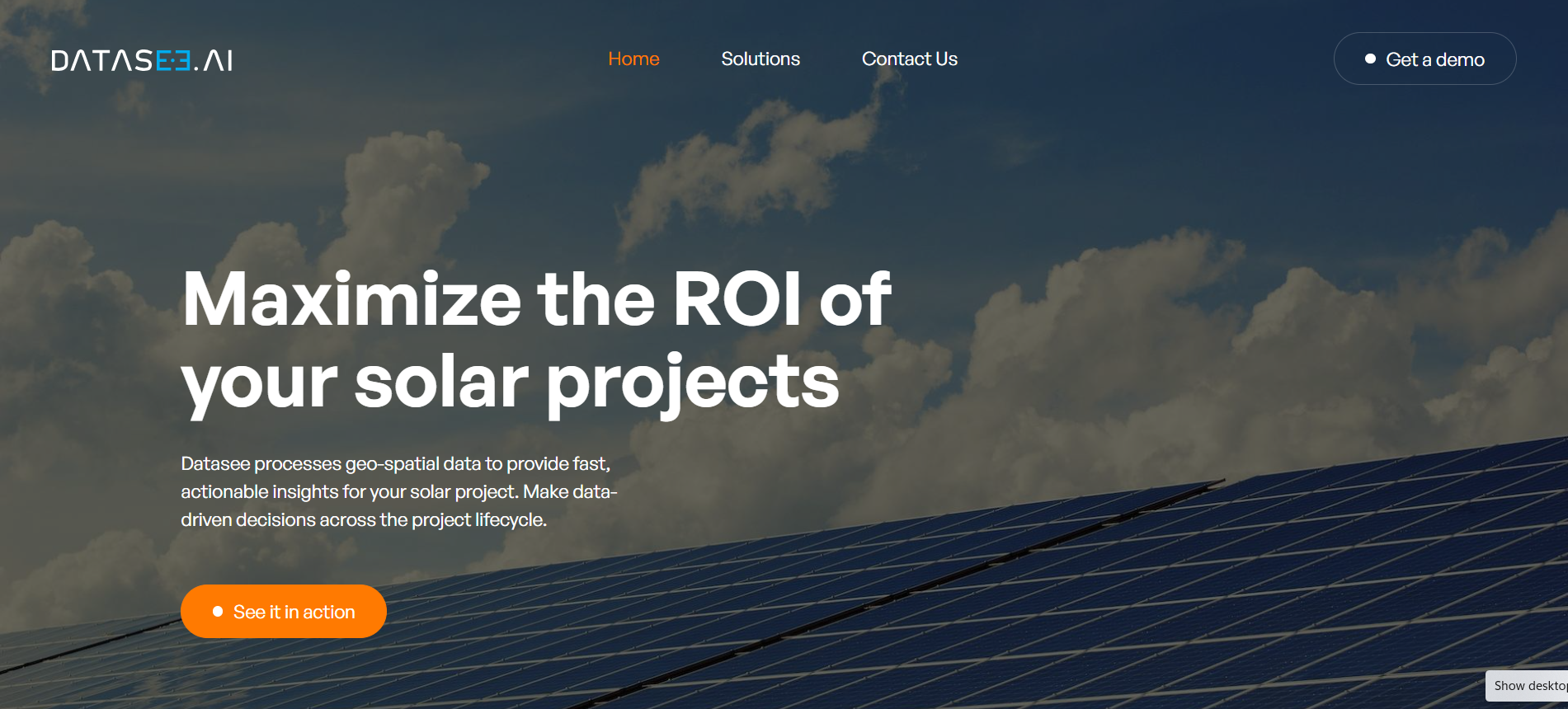
Datasee.AI is a data infrastructure and analytics platform focused on leveraging AI and computer vision to analyze aerial, satellite, and drone imagery. It enables organizations to digitize physical assets and monitor them across their lifecycle—from planning and construction to operations. The platform is widely used in sectors like renewable energy and agriculture to improve asset performance, reduce risks, and optimize operational efficiency. By combining geospatial analytics, machine learning, and image processing, Datasee.AI delivers a unified system for real-time monitoring and predictive insights. Its solutions help eliminate data silos and enable better collaboration across teams.
Renewable Energy Companies, Agriculture Businesses, Infrastructure Teams, Asset Managers, Geospatial Analysts
Atlanta, USA
11-50 employees
No reviews yet
Be the first to share your experience!
Custom
Own this tool? Claim your professional dashboard from us for free.