
Location intelligence from aerial data using drones
Book a personalized demo with our team.
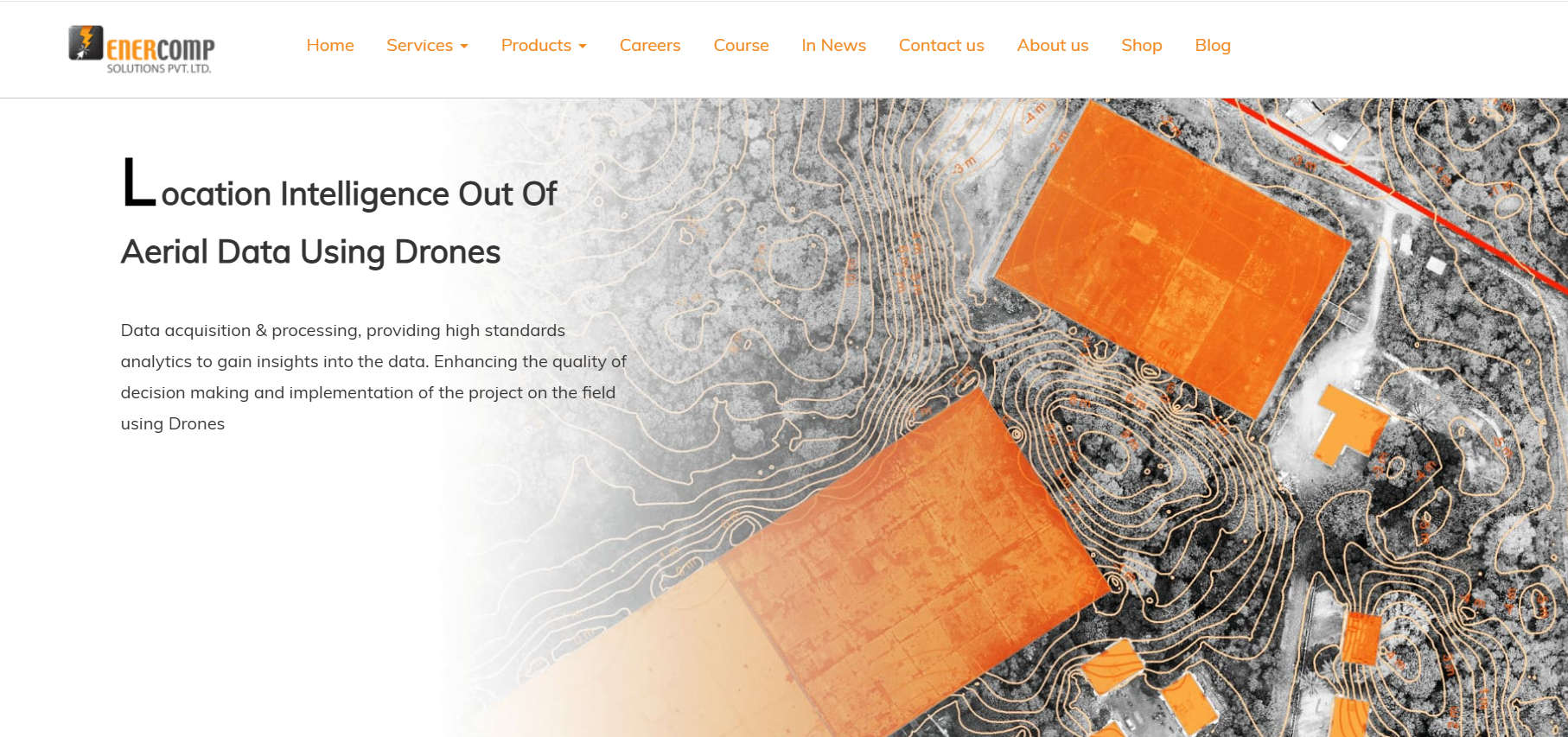
Enercomp combines indigenous drone manufacturing, Drone‑as‑a‑Service (DaaS), and advanced GIS analytics for diverse industrial uses including inspection, mapping, crop health, and energy utility surveys. Its portfolio includes fixed‑wing, VTOL, and multi‑rotor platforms, supported by data processing and orthomosaic services for enterprise and government clients. Enercomp’s solutions accelerate workflows, enhance accuracy, and provide actionable aerial intelligence across sectors such as infrastructure, agriculture, solar energy, and hydrology.
Infrastructure developers, Energy & utility firms, Agricultural businesses, Survey & mapping professionals, Government agencies
Ahmedabad, India
51-200 employees
No reviews yet
Be the first to share your experience!
Own this tool? Claim your professional dashboard from us for free.